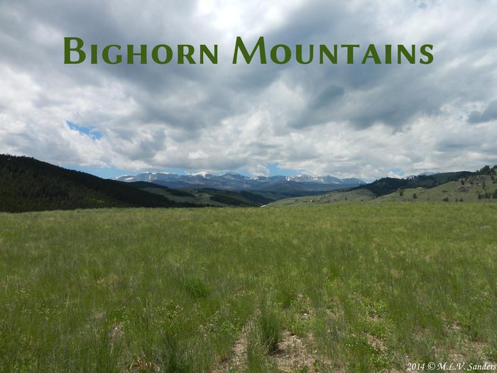
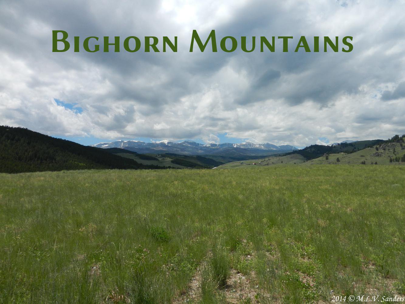
Bighorn Mountains
May 2, 2019
revised: Oct. 30, 2020
The Bighorn Mountains are in central Wyoming. Foothills of the Bighorn Mountains reach north into Montana. The highest peak is Cloud Peak at 13167 ft above sea level. Two other peaks, The Merlon and Black Tooth Mountain are over 13000 ft elevation. The Bighorns are very prominent when seen from the much lower Powder River Basin to the east and the Bighorn Basin to the west.

![]()
![]()
The Bighorn Mountains is a big mountain range running North/South through Wyoming.
Bighorn Mountains or Big Horn Mountains?
The Bighorn Mountains are called by more than one name. A letter to the editor in the Sheridan Press _1_ reported that in 1962 the United States Board of Geographic Names gave the mountains the official name Bighorn Mountains. Since then that name is in common use. The websites Wikipedia, Encyclopedia Britannica, Peakbagger.com, and USGS all use the name: Bighorn Mountains.
However the practice of using the name Bighorn Mountains is far from universal. Summitpost.org uses the name: Big Horn Range. Many other websites such as wyoparks.wyo.gov and the official Wyoming state highway map use the name Big Horn Mountains.
Cloud Peak Skyway
The Cloud Peak Skyway is a Wyoming scenic byway on highway US 16 between the town of Buffalo east of the Bighorns and the town of Ten Sleep west of the Bighorns _2_. This scenic byway is 47 miles long and has significant changes in elevation as it goes over the Southern Bighorn Mountains. The highest point of the scenic byway is Powder River Pass with a 9666 ft elevation.
Powder River Pass is one of our favorite places to stop. It has a parking lot off the main road with views of mountain tops. In the summer the meadows at the pass are filled with alpine flowers. Even in the heat of the summer, the temperatures at this elevation are cool and often there is a breeze.
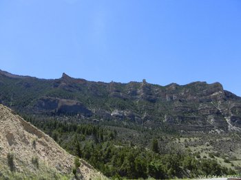
US 16 goes through Ten Sleep Canyon on the western side of the Bighorns. Ten Sleep Canyon provide dramatic views as you drive along.

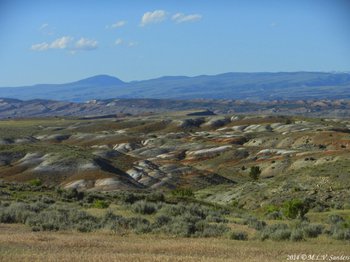
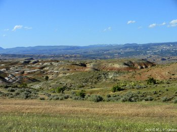
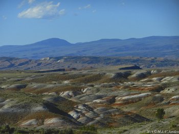
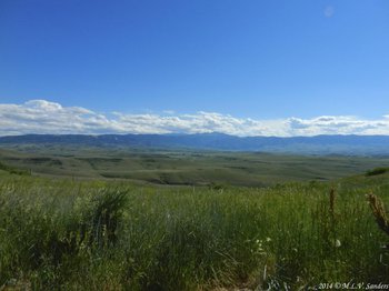
On I-25 headed north to Buffalo and the Bighorn Mountains
Continuing on I-25 toward Buffalo and the Bighorn Mountains.
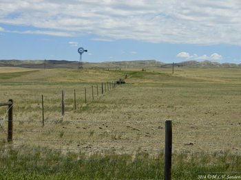
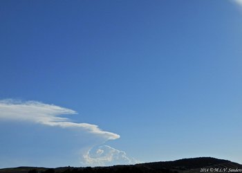
A fence row, seen from I-25.
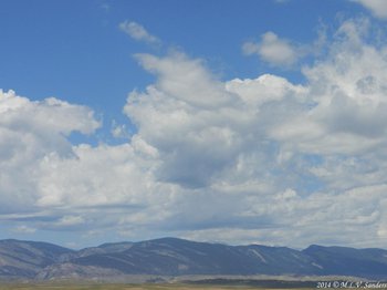
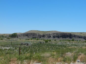
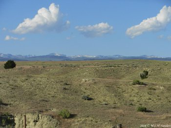
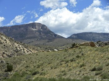
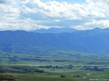
The first sighting of the Bighorn Mountains traveling north on I-25.
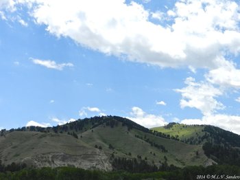
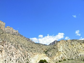
On US 16 heading up into the Bighorn Mountains.


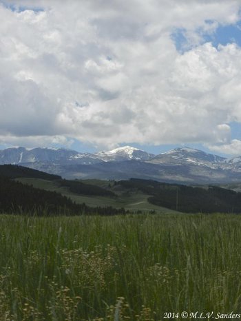
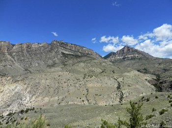
Darton Peak high above the grasslands.

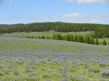
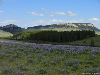
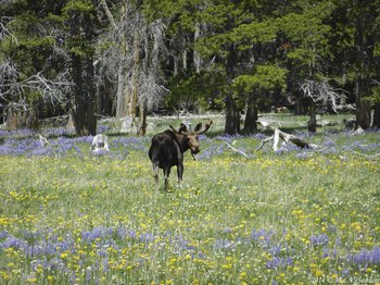
Loaf Mountain and Lupines.

This is Circle Park on US 16. Left-to-right the mountains are Loaf Mountain, Bighorn Peak and Circle Peak.


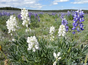
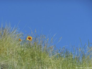
White and blue lupines up close.
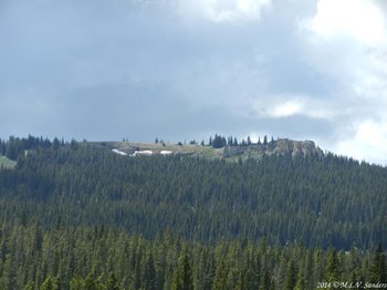
Powder River Pass, the summit of US 16, as it winds through the Bighorn Mountains. We see Hesse Mountain and Hazelton Pyramid.
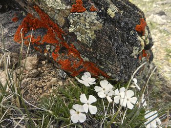
These are some Lichens and Alpine Phlox growing on the pass.

Another view at Powder River Pass.
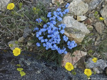
An alpine garden of Forget-Me-Nots and Alpine Avens.
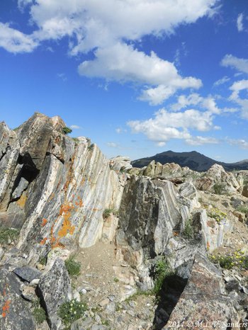
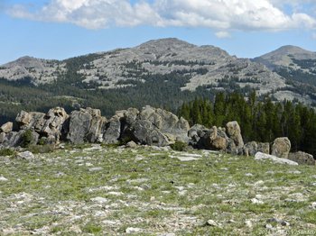
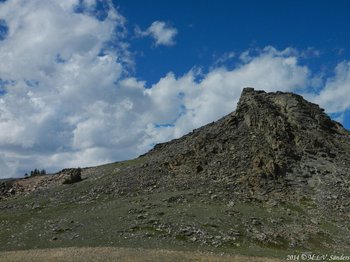
Rocks turned on end at Powder River Pass.
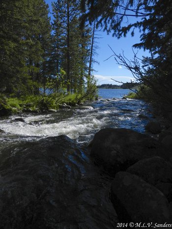
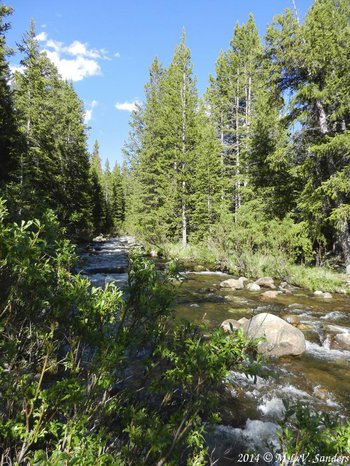
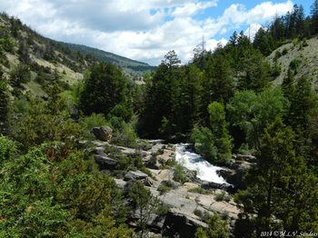
East Tensleep Creek flowing into Meadowlark Lake.
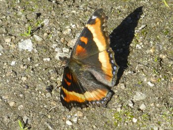
Milbert's Tortoiseshell Butterfly.
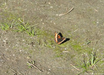
Milbert's Tortoiseshell-the wings look like they have eyes!
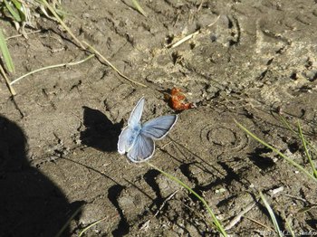
This is a male Boisduval's Blue.
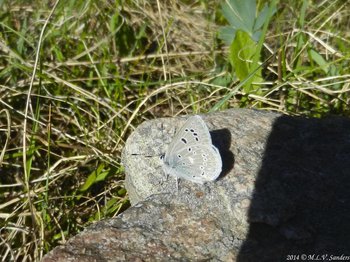
This is the under or ventral side of the male Boisduval's Blue.

Leaving the Bighorns Mountains by traveling down Tensleep Canyon on US 16.

A side of Tensleep Canyon. Tensleep Creek is in the bottom of the canyon.
A look down Tensleep Canyon at the shadowy mountains of the Thermopolis area. (Blue Mesa and Owl Creek Mountains??)
This view is typical of of the scenery between Ten Sleep and Worland. One suddenly feels as if they had been transported to New Mexico or Arizona.
A look back at the Bighorns and we see the tallest Bighorn, Cloud Peak. To the left of Cloud Peak is Black Tooth Mountain and to the right are the two Mather Peaks.
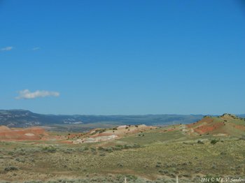
The landscape continues to surprise as one travels away from the mountains.
More interesting rock formations.
More interesting rock formations.
Bighorn Scenic Byway
The Bighorn Scenic Byway is designated as highway US 14 between the towns of Shell and Dayton Wyoming _2_. After leaving the town of Shell, US 14 enters Shell Canyon on the west side of the Bighorns. Shell Canyon is much different from Ten Sleep canyon to the South on US 16. But both canyons provide a fantastic and interesting drive. The rapids and small waterfalls of Shell Creek flowing through Shell Canyon can be seen on the drive.
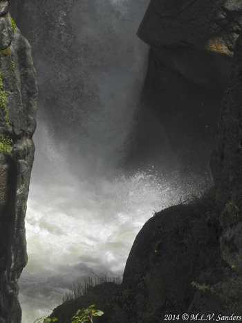
While still in Shell Canyon, the Bighorn Scenic Byway reaches Shell Falls, A large waterfall with a parking area and a visitors center. The Bighorn Scenic Byway climbs up to Granite Pass, with 9033 ft elevation, then descends down the east side of the Bighorns towards Dayton Wyoming. There is beautiful mountain scenery along the whole route.
After Granite Pass, the Bighorn Scenic Byway is joined at Burgess Junction by another scenic byway called Medicine Wheel Passage which is on US 14 Alternate (US 14A) .

Traveling on US 14 going east into the Bighorn Mountains. The road runs alongside Shell Creek which keep things green in the valley.

Shell Canyon is much different that Tensleep Canyon. Elephant Head Rock is at the very top of the picture. It looks like the profile of an elephant with its trunk curled in front of its face.

Shell Canyon and a look at Pyramid Peak.

Sunshine Mesa and Pyramid Peak, Shell Canyon. Cattle used to be trailed along the bottom of Sunshine Mesa.
The south wall of Shell Canyon.
Shell Creek near Shell Falls.

Shell Creek and a mountain called Copman's Tomb.

A fine example of rock layers being sharply folded.

A fine example of rock layers being sharply folded.
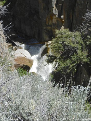
Across the valley another waterfall is tucked away.
Shell Creek above the falls.


The treeless spot on the hill to the right was where a rare tornado went through in 1959 resulting in the death of one person. This is at Granite Pass on US 14.

A pretty hillside at Granite Pass.

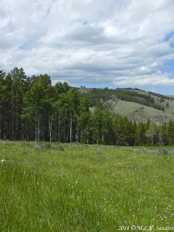
The entrance to an amazing garden.

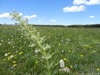


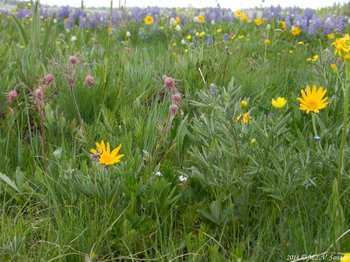

This was such an amazing field of flowers. Eleven species were blooming and there were probably many more that weren't. I wonder if all fields and forests used to look this way long ago.


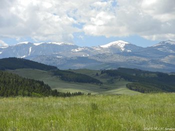
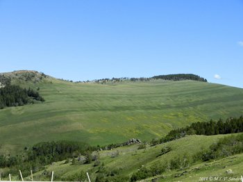
This is the east side of the Bighorn Mountains. The plains of eastern Wyoming and South Dakota can be seen in the distance.
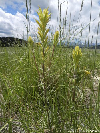
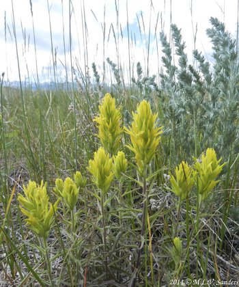
Masses of yellow flowers.
Yellow flowers on the hillside.
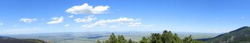
On the eastern side of the Bighorn Mountains looking across the prairie toward Sheridan.

A view of Montana, about 30 miles away.
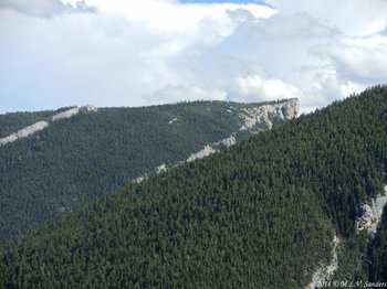
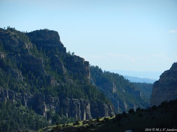
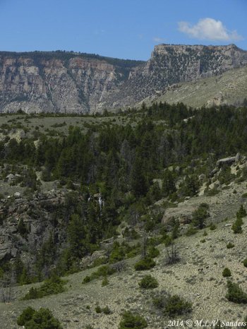
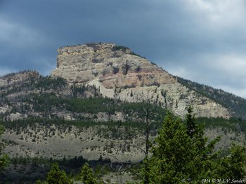
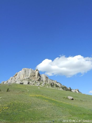
This type of cliffs are common throughout the eastern side of the Bighorn Mountains.
A look at the Bighorn Mountains from south of Sheridan. The craggy mountain on the left is Black Tooth Mountain.
Here we say so long to the Bighorns and start the trip back to Casper about two hours away.