Cheyenne to Laramie
May 3, 2019
revised: June 23, 2020
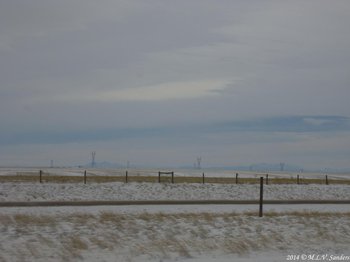
A shadowy Longs Peak can be seen on the left next to a transmission tower. This is a view from I-80 West very close to Cheyenne.

The following pictures show how bad it has to be before Wyoming authorities close the road and turn on the flashing lights. This was early December and the road had recently re-opened. This stretch of I-80 is the highest part of the road (it tops out at 8,640 ft. above sea level) and is a place to have a lot of respect for in the winter months. It can be a very dangerous stretch of highway. This s
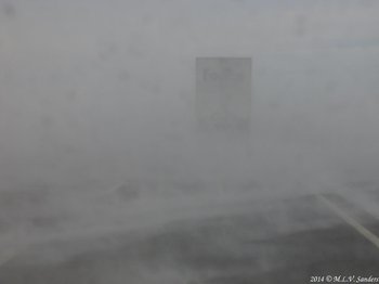
One of several white-knuckle drives we have taken between Cheyenne and Laramie.

Blowing snow along I-80.

Some of the rock formations at Vedauwoo as seen from I-80.
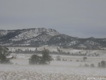
There can be lots of blowing snow on I-80.

Dry grasses of fall along Happy Jack Road. Happy Jack Road is a beautiful alternate route between Cheyenne and Laramie, sometimes it is nice to get off the interstate.

A fence row by Happy Jack Road, also called WYO 210.

Colorful aspen trees along Happy Jack Road
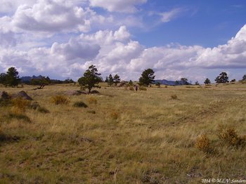
Another nice spot along Happy Jack Road.
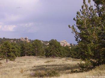
This is the Vedauwoo area along Happy Jack Road. These rock formations remind us of Lumpy Ridge in Rocky Mountain National Park.

We were excited about the aspens in these pictures, we hadn't ever seen yellow aspen before on this trip. They did not disappoint! This place is close to Laramie on Happy Jack Road.
![]()
![]()
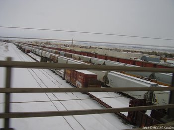
Laramie is a railroad town. This is a look at the train yard there.


