Devils Tower
June 13, 2020
revised: Oct. 30, 2020
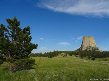
Devils Tower is located in Devils Tower National Monument in Northeast Wyoming. Devils Tower is 5112 feet tall, its broad flat summit over 900 feet above the surrounding terrain.
![]()
![]()
An evening's look at Devils Tower from a distance. This photo was taken at the parking lot for the 1.5 mile Joyner ridge Loop trail. All the other trails in the National Monument tie into this loop.
The Tower Itself
Devils Tower is impressive from a distance with its unusual "tower shape" that is not typical of most mountains. Up close, the cliffs of Devils Tower are also impressive in a way that is not typical of most mountain cliffs. The Tower Trail leaves the parking lot of the visitors center and provides an easy up-close walk around Devils Tower.
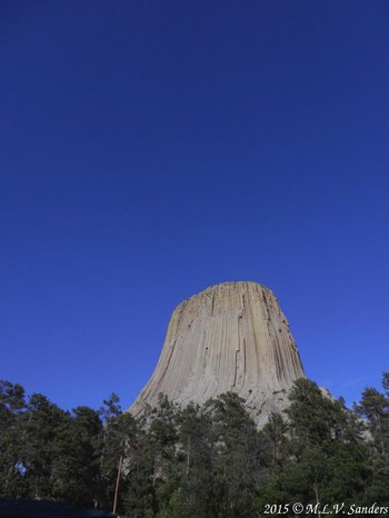
Devils Tower as seen from the Visitor Center.

The south side of Devils Tower.
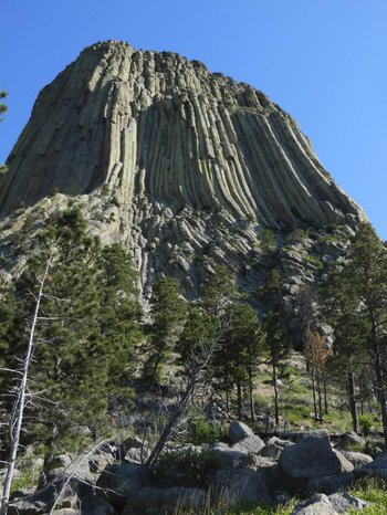
We walked the 1.3 mile Tower Trail around the base of the tower. We went to the left to go around the circle path. This is what you see as you begin. Yes, it is huge and imposing!
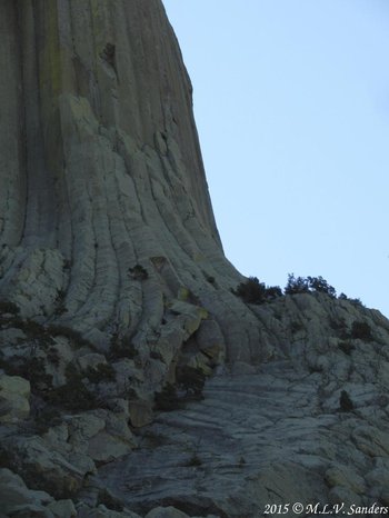
A photograph taken along the Tower Trail. Here the stone columns mentioned in one of the signs are curved into beautiful shapes.

Devils Tower as seen from the Tower Trail.
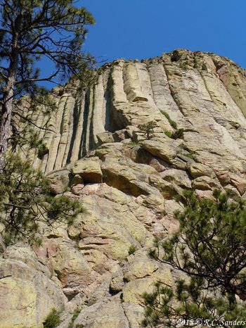
Devils Tower with more examples of broken off pieces of rock columns.
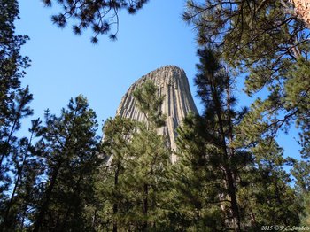
The is the northeast side of the Tower.
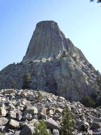
Almost to the end of the Tower Trail.
Geology of Devils Tower
Devils Tower is an unusual mountain and its geology is worthy of study. The rocks that form Devils Tower were made from molten magma that rose towards the surface and cooled underground. As the magma cooled it contracted resulting in rocks with numerous vertical cracks. When you look close at the cliff faces of Devils tower you see where relatively small columns of rock have broken off. These "columns" that break off from the cliff face tend to have a hexagonal or other polygon cross section. It is quite bizarre to look at.

A sign at Devils Tower National Monument describing the geology of the area.
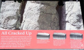
Another sign at Devils Tower National Monument explaining how the peculiar shapes on the cliff face were formed.
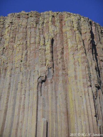
The individual columns were formed by magma cooling and vertical cracks forming.
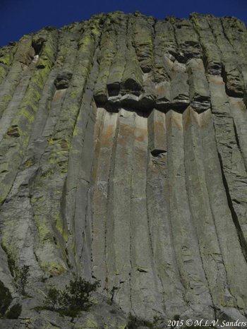
Here is a spot on Devils Tower where sections of columns have been broken off.
Prairie Dog Town
There is an accessible Prairie Dog Town in Devils Lake National Monument. These are Black-tailed Prairie Dogs and the live right next to the road up to the Visitor Center. It is easy and fun to watch them from your vehicle but watch out, they will come on the pavement and care must be taken not to run over them. There are about 600 prairie dogs in a 40 acre town, although the numbers vary from year to year.

An alert prairie dog munching on some grass.
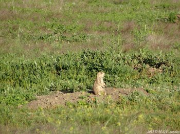
Prairie Dog scanning the area.
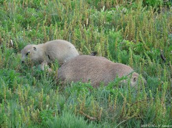
A Prairie Dog mother and its baby.
Plants of Devils Tower
The plants near Devils Tower are diverse, including Burr Oaks and Ponderosa Pines.

Bur Oaks are mixed with Ponderosa Pines on the hills surrounding Devils Tower. Bur Oaks are fire resistant trees of midwestern prairie savannas. Ponderosa Pines are their equivalent in the Montane zone of the Rockies.
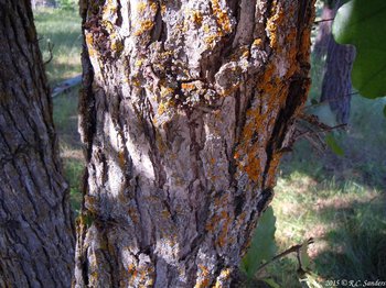
Bur Oak trunk with brightly colored lichen.
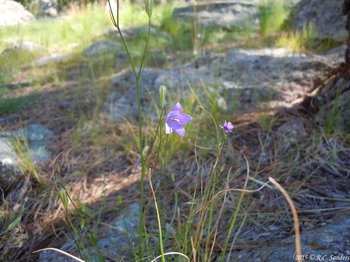
A Harebell blooming alongside the Tower Trail. The trail had many of these dainty flowers of the Montane zone. They catch every breeze and are hard to photograph.
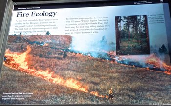
The theory of fire ecology.
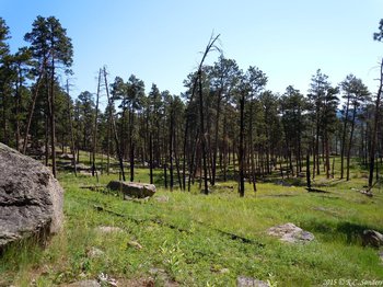
The practice of fire ecology. The burned dead trees may appear unsightly but grasses, flowers, and other plants on the forest floor receive more light and flourish. The remaining trees will will receive more water and light making them larger, healthier, and better able to withstand future fires.

A blooming rose.
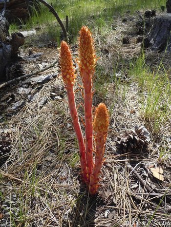
Pine Drops. This plant is a root parasite and produces no chlorophyll. It is always associated with a certain type of fungi which is in turn associated with pine trees. The three organisms work together to stay alive.
KOA Campground
The KOA campground is very close to Devils Tower National Monument. The Belle Fourche River bounds the campground on three sides. The campground provides views of Devils Tower.

Swallows nest on the red cliffs along the Belle Fourche River next to our campsite. If you look carefully you can see a bird entering its dried mud nest through a tube-like entrance. The river is pronounced bel-FOOSH.
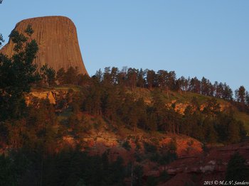
The first light of the morning turns Devils Tower reddish pink.
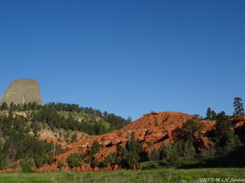
Devils Tower and the cliffs above the Belle Fourche River. This photo was taken at the Devils Tower KOA.

Red Cliffs, green sagebrush.
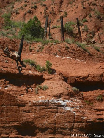
A fence marks the boundary between the National Monument and the KOA campground.

One-eyed Sphinx moth.
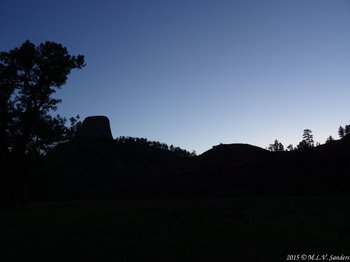
Devils Tower in the evening. This evening was special because Venus and Jupiter were in very close proximity in the sky. They can be seen here to the right of the tower.
Area Around Devils Tower
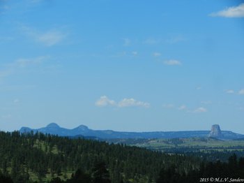
A great view of three of the four Missouri Buttes on the left and Devils Tower on the right as we approach them from the southeast on US 14. The geology of the Missouri Buttes is similar to that of Devils Tower. They are taller but less steep and less famous than Devils Tower.
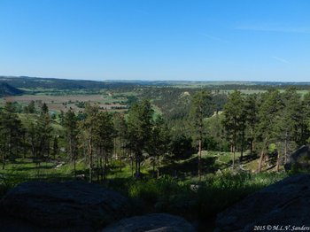
The surrounding area to the south of Devils Tower, much of this land is given over to cattle ranching.
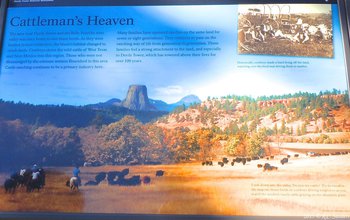
As we drove to Devils Tower on US 24, we saw lots of cattle in large grassy areas separated by stands of pine trees. The views brought to mind watching the TV show Bonanza as a child. I half expected to see Hoss Cartwright to come riding by at any time.
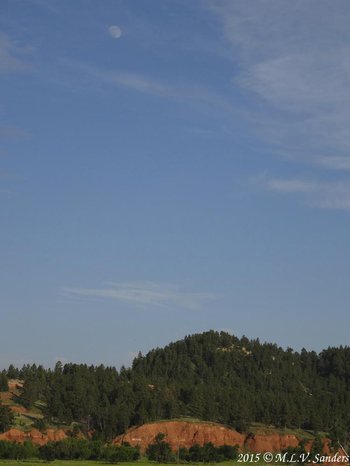
The hills around Devils Tower as seen from the Prairie Dog village around sunset.


