US 287 to the Tetons
May 2, 2019
revised: June 22, 2020

Traveling west of Laramie on I-80. This is the rest stop at exit 287.

View from the same rest stop.
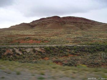
Great Divide Basin
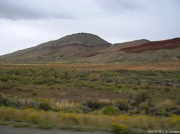
Great Divide Basin.
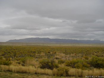
Great Divide Basin

Muddy Gap
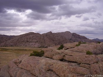
Split Rock seen from a BLM interpretative site alongside US 287 near the Sweetwater River. From the parking lot we climbed up on Cranner Rock for this view. Split Rock does not look very split from this angle. The best we could tell, it is the higher rock in the near background on the right hand side of the picture.

Split Rock area

More Split Rock
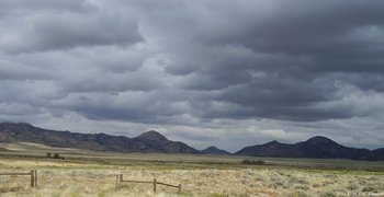
Lankin Dome (in the midddle of the picture) from a pull-off on US 287 just west of the BLM Split Rock Interpretive site. This is a neat view and we left wishing we had more time to spend in this area.
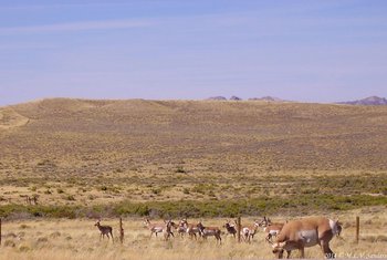
Sage Rockets (a.k.a. pronghorn, speed goats, or antelopes) near Three Forks
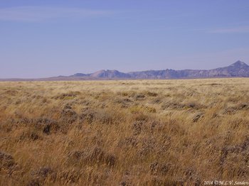
Picture of Split Rock taken from WYO 220 close to Three Forks. In this view the split in Split Rock is much more obvious. This is a sight pioneers in wagon trains headed west would see.

Near Three Forks

A pull-off on US 287 at Beaver Rim. The Wind River Range is hiding under the clouds in the distance.
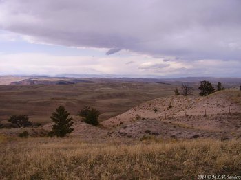
The vastness of the expanse of the Wind River Basin seen from Beaver Rim is astounding. Beaver Rim is an escarpment above the Wind River Basin [Roadside Geology of Wyoming, Lageson and Spearing].
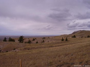
Beaver RIm

On a clear day the Wind River Range can be seen from Beaver Rim.
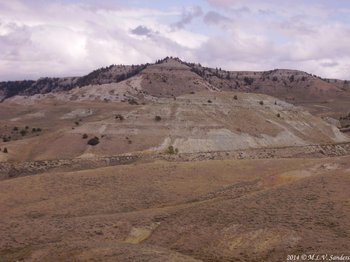
Going down off Beaver Rim and heading west looking back at where we were before.
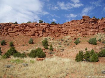
Between Beaver Rim and Lander.

Between Beaver Rim and Lander.

A view between Beaver Rim and Lander. The clouds are where the Wind River Range is.
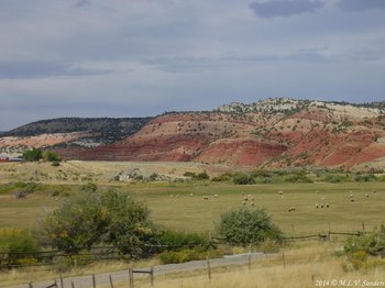
Between Beaver Rim and Lander.
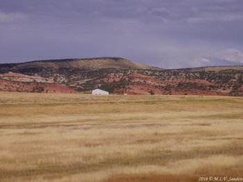
Between Beaver Rim and Lander.
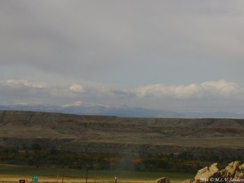
First view of the Wind River valley at the junction of highways US 26 and US 287 near Crowheart Butte.
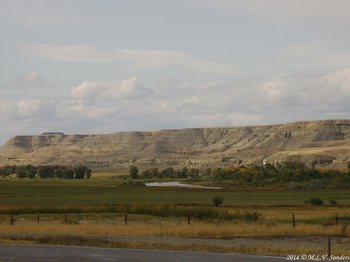
We are at the Diversion Dam Junction Rest Stop close to Bull Lake. Bull Lake is close by but not visible from US 287. There is a lot of evidence of glaciation at Bull Lake and we would have liked to have gone there.
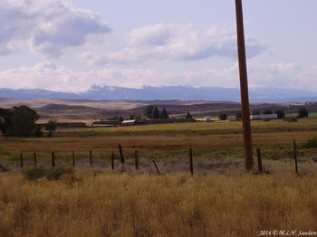
Diversion Dam Junction Rest Stop
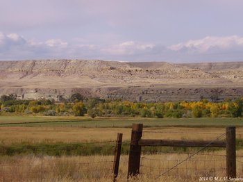
Diversion Dam Junction Rest Stop.
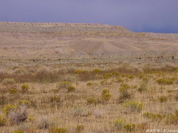
Diversion Dam Junction Rest Stop.
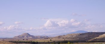
Crowheart Butte
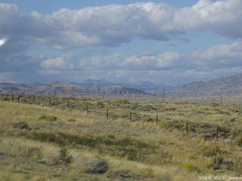
We are driving west on US 287 along the Wind River. The Absoraka Range is to the north and the Wind River Range to the south.
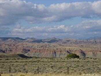
We are driving west on US 287 along the Wind River.
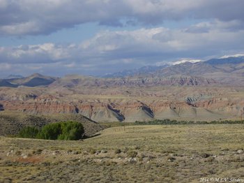
We are driving west on US 287 along the Wind River.
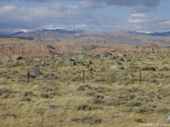
We are driving west on US 287 along the Wind River.

As we get closer to Dubois the valley appears to narrow. In this view the Wind River runs behind the rail fence.
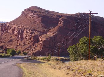
Spectacular rock formations close to the road are abundant between here and Dubois. This formation is particularly impressive.
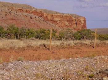
The changing bright colors of the rock formations illustrate the different geologic periods. It is like traveling through time.
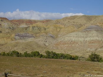
Before us are layers of red rocks, yellow rocks, purple rocks, green rocks, and white rocks.
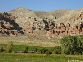
The Wind River is out of sight by the trees in the foreground. The lush green fieids by the water stand out in contrast to the arid landscape behind.

The amazing sights continue.
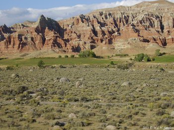
A badlands in the making?
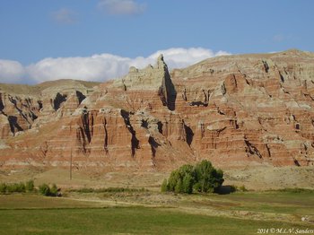
The amazing sights continue.
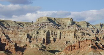
The amazing sights continue.
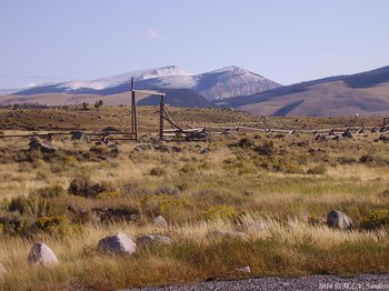
Near Dubois-Jakey's Fork and a view of the Wind River Range

Leaving Dubois headed west early in the morning. The landscape west of Dubois changes drastically. Forests, mountain parks and trees replace the arid landscape east of Dubois.

Zoom in on the previous picture. The winter snowfall is already accumulating in late September.
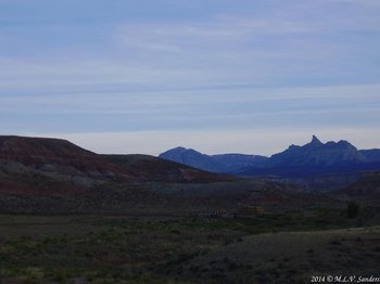
Leaving Dubois even earlier in the morning on US 287. Ram's Horn and Wagon Gulch are in the background.
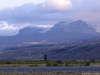
Another scene along US 287.
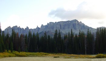
Brooks Lake area, Pinnacle Buttes.
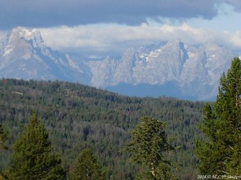
The first good glimpse of the Tetons that we see as we drive west on US 287.


